Address geocoding is an essential tool for businesses, government and individuals alike to increase location accuracy and optimize location based processes and services. It can play a vital role in optimizing operations and reducing expenditure wherever possible through comprehensive
geocoded address data.
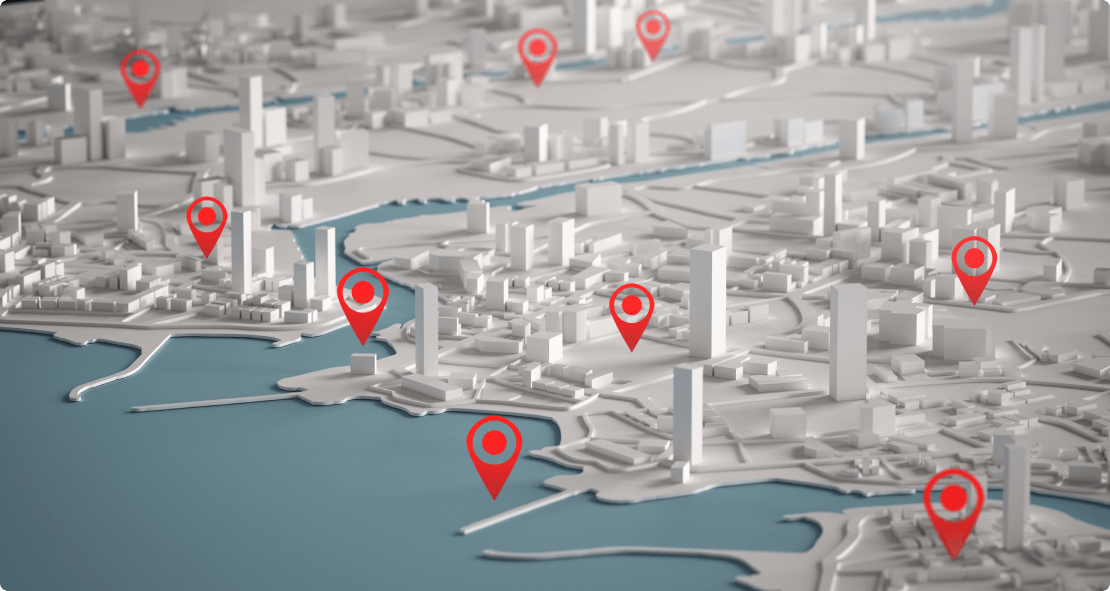
But what exactly are geocoded addresses and locations?
The process of geocoding involves converting a physical address or location into geographic coordinates like latitude and longitude. These coordinates are easier to trace on a map to perform
data analysis and gain insights for a multitude of use cases.
What are the uses of geocoded addresses?
Geocoded addresses can be used in a plethora of ways in multiple industries to streamline certain processes. For e.g., geocoded addresses can be used in the e-commerce industry to ensure the
correct and accurate addresses of the customers reach the e-store owners, ensuring no data mismatch. Similarly, in the logistics industry, geocoded address can be used in the sorting and
allotment of parcels according to delivery areas, zones and or delivery personnel thereby ensuring quicker deliveries and efficient operations. If we talk about the ride hailing industry, geocoded locations can be utilized to quickly reach customer pick-up and drop off points, spending less time and fuel on navigating and searching for the customer. This not only diminishes the carbon emissions from vehicles, this also enhances the customer’s experience! Geotagged addresses also aid emergency service providers, ensuring prompt responses and reaching
the distresses in good time that can drastically help in saving more lives.
What is location intelligence in geocoding?
Once geocoded data has been accumulated and stored in large magnitudes, this data can be processed and utilized by machine learning and artificial technologies to create custom algorithms
that aid organizations and other service providers. With these algorithms, a lot of manual work of analysing and sorting location data can be automated thereby freeing up time to focus on other important tasks. Not only this, with such technological implementations, even locations that currently do not have geocoded data in any database, their location can be predicted using data from its corresponding proximity and the addressing structure of the area it resides in. This can help businesses and other organizations take the required action on these locations based on analysis of the geocoded data.
Implementation of geocoded addresses with Pataa
At Pataa, we have developed technology that has mapped the entire world into 57 trillion+ 3×3 sq m blocks which we have termed square codes. Each square code has a completely unique identification number through which any place on the earth can be searched and pinned on a map. Not only does this make finding any location on the map easy, even unnamed locations can easily be shared with the help of the square code.
Pataa also lets users create their own customized and personalized digital address shortcodes for their long and complex addresses, which comprise of their precise geotagged location. These
geotagged shortcodes can easily be shared with visitors, delivery agents and any other service providers to find and navigate to the exact location. With millions of Pataas already in our database and many more following each passing day, we have developed and artificial and machine learning based technology that can predict locations that do not currently have a digital address code. We have named this technology Predictive Proximity Location Intelligence’ and with the use of this technology, many industries can benefit from optimized operations. For e.g. logistics organizations can better sort and allot parcels with the location intelligent data and ensure smoother operations.
Address geocoding or geotagging is a powerful tool that can help businesses, government entities and service providers enhance and optimize their operations and reduce unforeseen expenditure. It could hold the potential to become the future of the addressing system and help solve a plethora of problems caused by the unstructured and complex addressing systems of today.